

Areas we serve
Every neighbourhood. One builder.
We work across the North Shore and Greater Vancouver. Each neighbourhood has its own terrain, housing stock, municipal process, and building conditions. We know them all.
District of North Vancouver
District of North Vancouver
The District wraps around the City on three sides, from Deep Cove in the east to Capilano in the west, and up into the mountain slopes. Larger lots, steeper terrain, more stringent tree protection, and longer permit timelines.
North Vancouver
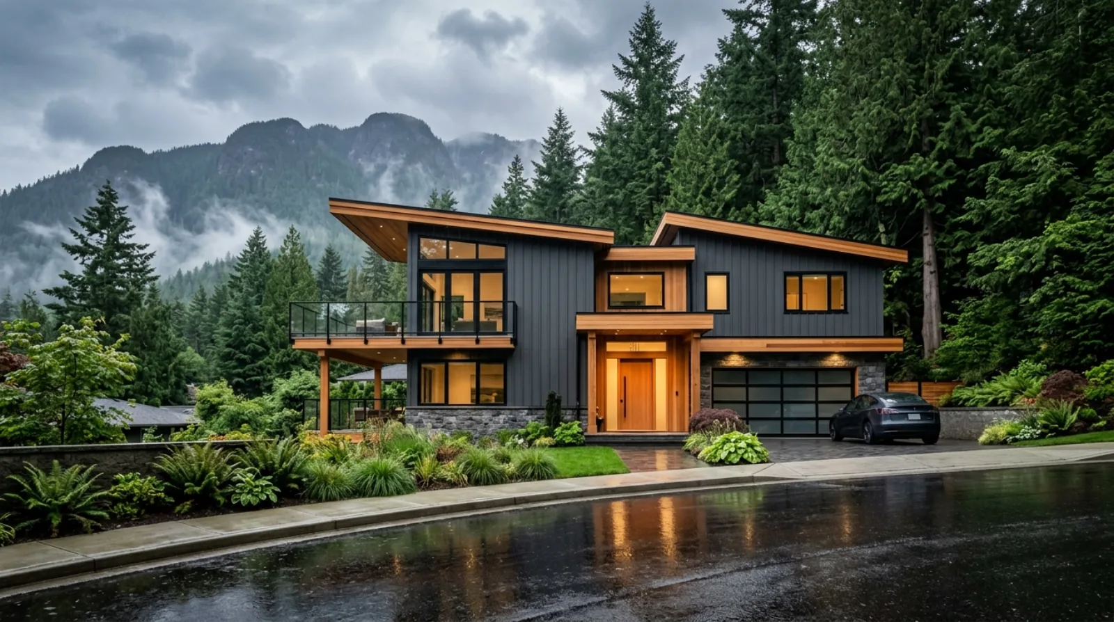
North Vancouver is where RealDream Contracting is based and where the majority of our work happens. We've renovated kitchens in Lynn Valley, rebuilt bathrooms in Edgemont, finished basements in Lower Lonsdale, and worked on homes across the District and City of North Vancouver.
View area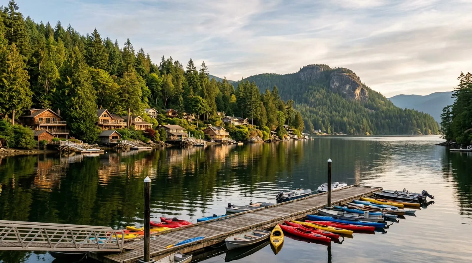
Deep Cove
Deep Cove sits at the eastern edge of the District of North Vancouver, surrounded by water on three sides and backed by Mount Seymour parkland. It's one of the most desirable neighbourhoods on the North Shore, and one of the more complicated places to build.
View area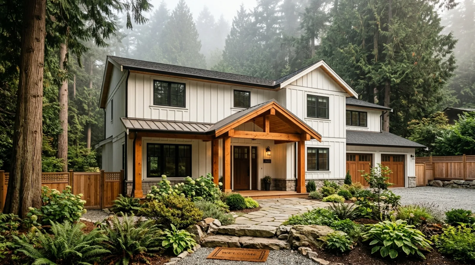
Lynn Valley
Lynn Valley is one of the most active renovation markets in North Vancouver. The neighbourhood has a large stock of homes built between the 1960s and 1980s: solidly located on good-sized lots, close to trails and schools, but with interiors, mechanical systems, and building envelopes that are 40 to 60 years old.
View area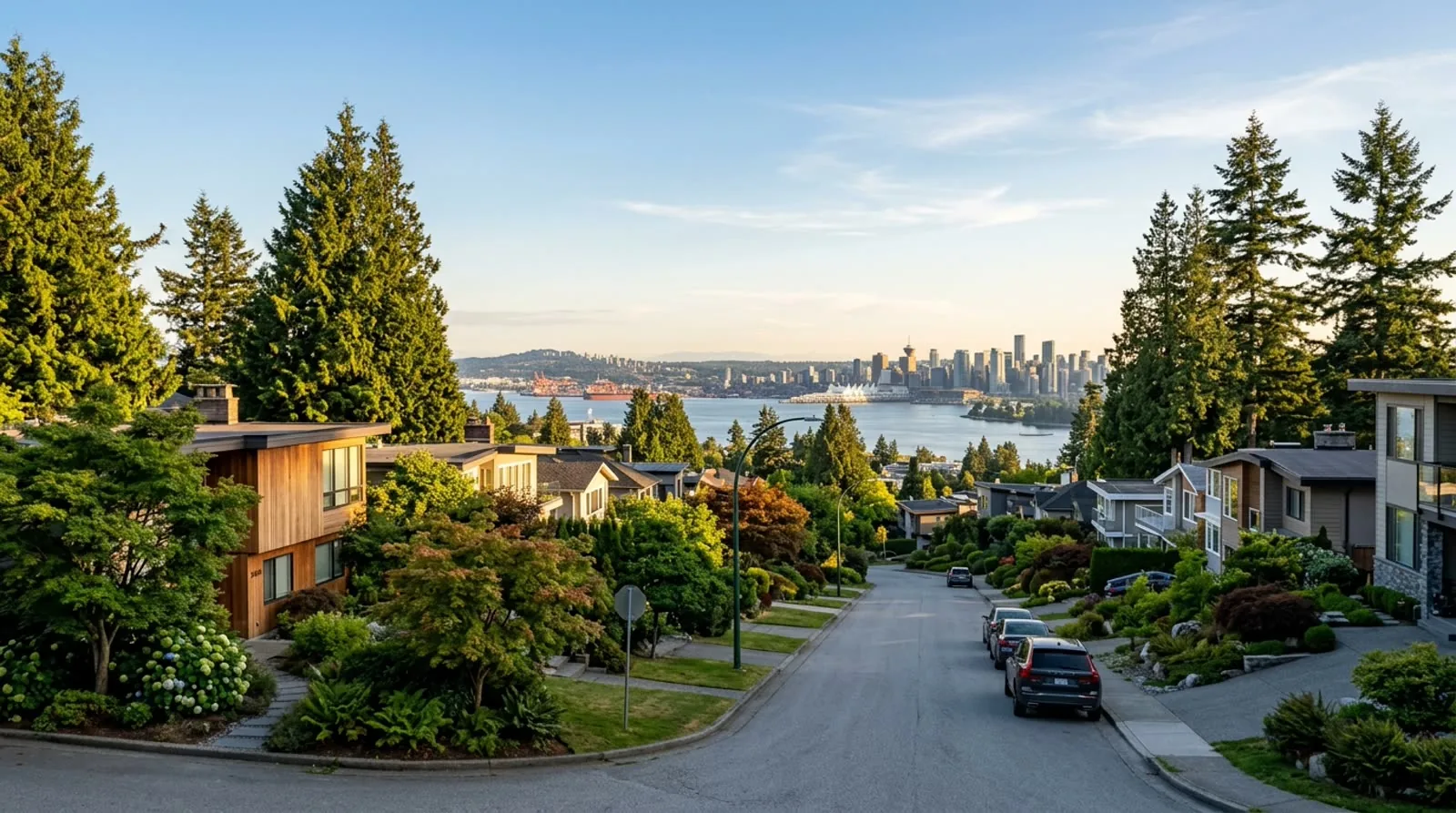
Upper Lonsdale
Upper Lonsdale starts where the terrain gets serious. North of 29th Street, the lots get steeper, the trees get taller, and the views open up across the inlet to Vancouver.
View area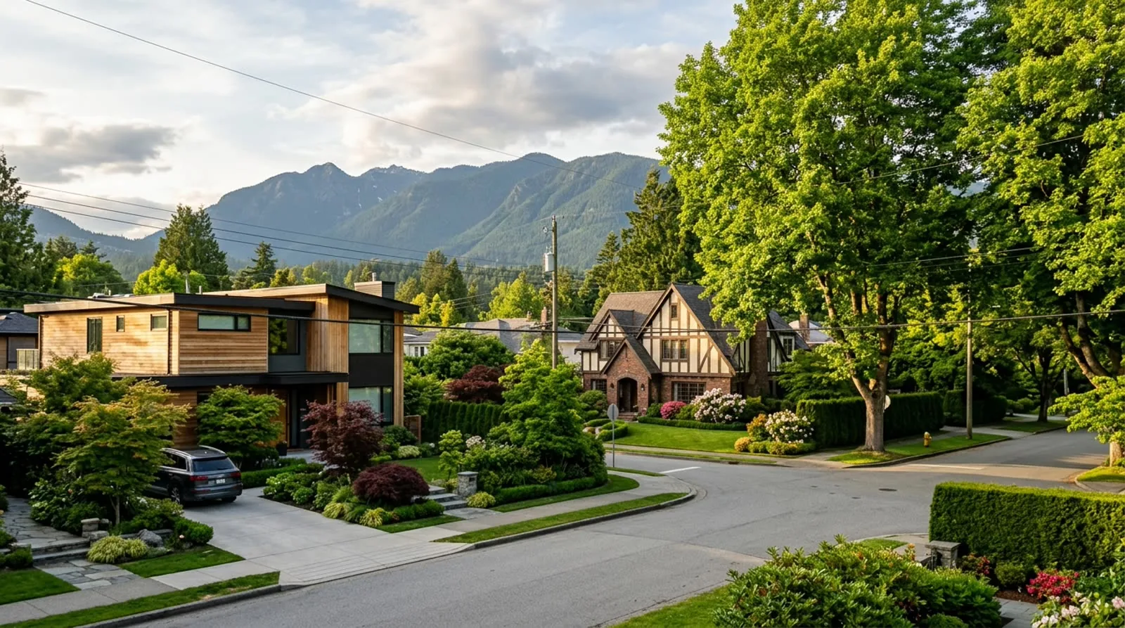
Edgemont
Edgemont Village sits in the upper reaches of the District of North Vancouver, at the base of Grouse Mountain and the surrounding trail network. The neighbourhood has some of the best lots on the North Shore (large, forested, with mountain and inlet views) and some of the most complex building conditions.
View area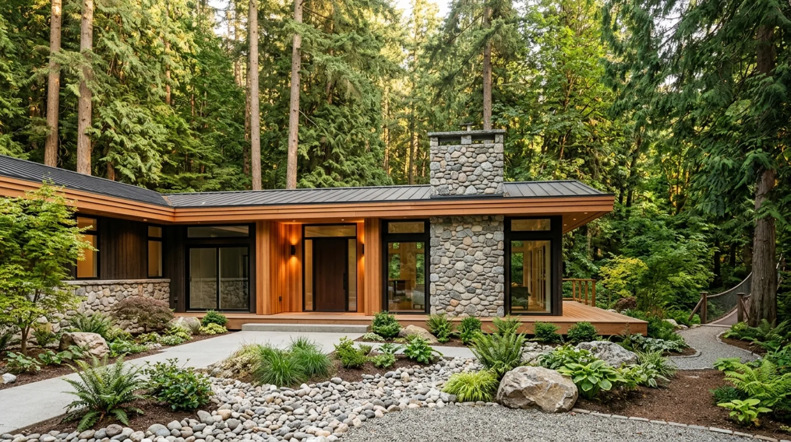
Capilano
The Capilano area (covering Capilano Highlands, Park Royal adjacent areas, and the neighbourhoods between the Capilano River and the Lions Gate Bridge corridor) is one of the quieter pockets of the North Shore for construction, but it's an area with significant renovation potential. Homes here tend to be well-maintained 1960s through 1980s builds on good-sized lots, with access to both the North Shore mountains and the bridge commute into Vancouver.
View area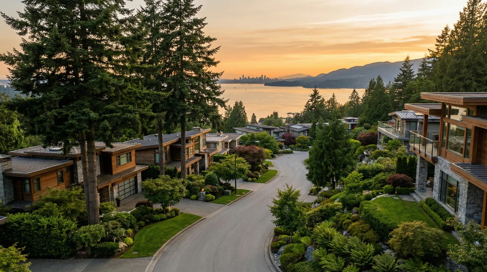
Canyon Heights
Canyon Heights occupies some of the highest residential ground in the District of North Vancouver, tucked between Capilano Road and the slopes below Grouse Mountain. The neighbourhood's roots trace to the late 1940s and early 1950s, when post-war suburban growth (spurred in part by the construction of Cleveland Dam between 1951 and 1954) opened up the upper Capilano Valley for residential development.
View area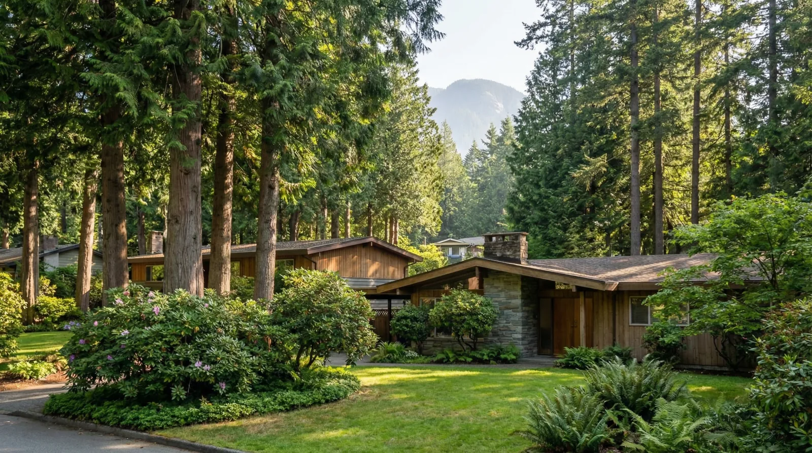
Blueridge
Blueridge is a hidden pocket in the District of North Vancouver, surrounded by forest on three sides, at the base of Mount Seymour, with only two road access points from the south. The neighbourhood began with a single road pushing up the hill from Keith Road in 1953, and by 1955 was being advertised as 'showcase homes in what seems to be a secluded slice of North Vancouver.
View area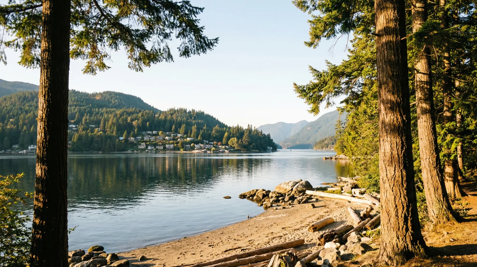
Dollarton
Dollarton stretches along the eastern waterfront of the District of North Vancouver, where Burrard Inlet meets the entrance to Indian Arm. The neighbourhood was founded in 1916 by Robert Dollar: a Scottish-born, San Francisco-based lumber baron who bought 100 acres here and built a sawmill, a company wharf, and a small company town with a post office, church, community hall, and school.
View area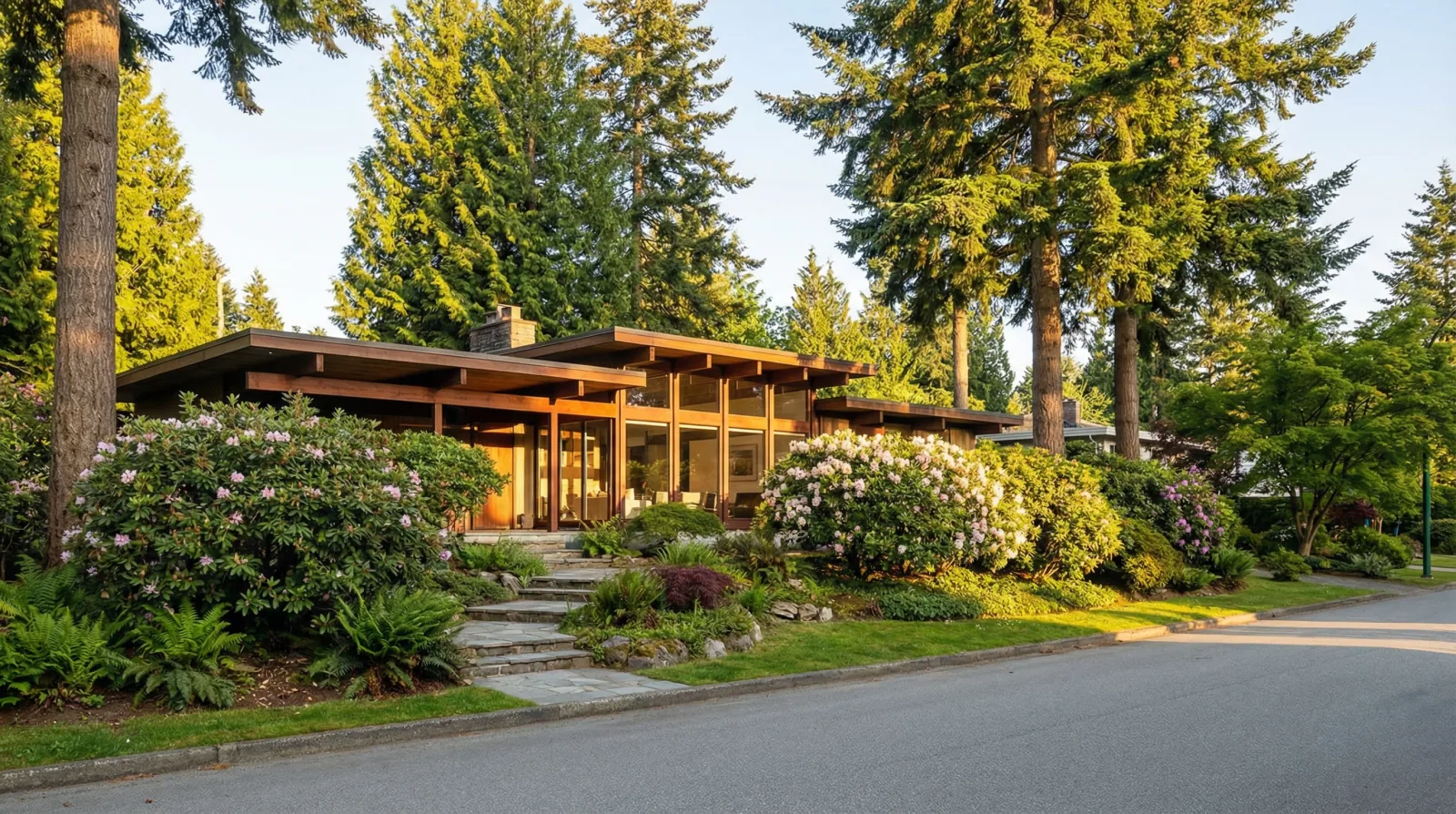
Delbrook
Delbrook occupies the mid-slope area between Mosquito Creek and Upper Lonsdale in the District of North Vancouver. The neighbourhood developed in the 1950s and 1960s as part of the post-war building boom on the North Shore, and it holds one of the most significant concentrations of West Coast Modern post-and-beam homes in Metro Vancouver.
View area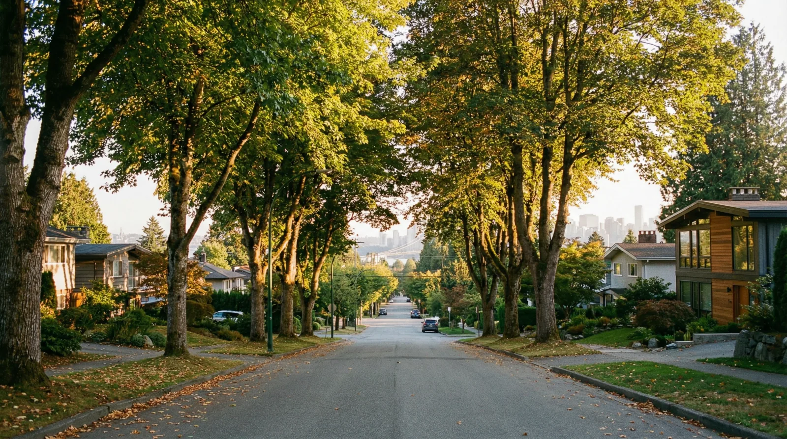
Pemberton Heights
Pemberton Heights is one of the North Shore's oldest and most established residential communities, sitting between Capilano Road and Marine Drive in the District of North Vancouver. The neighbourhood's roots go back to the late 1800s, when English immigrants were drawn by old-growth forests and Burrard Inlet views.
View area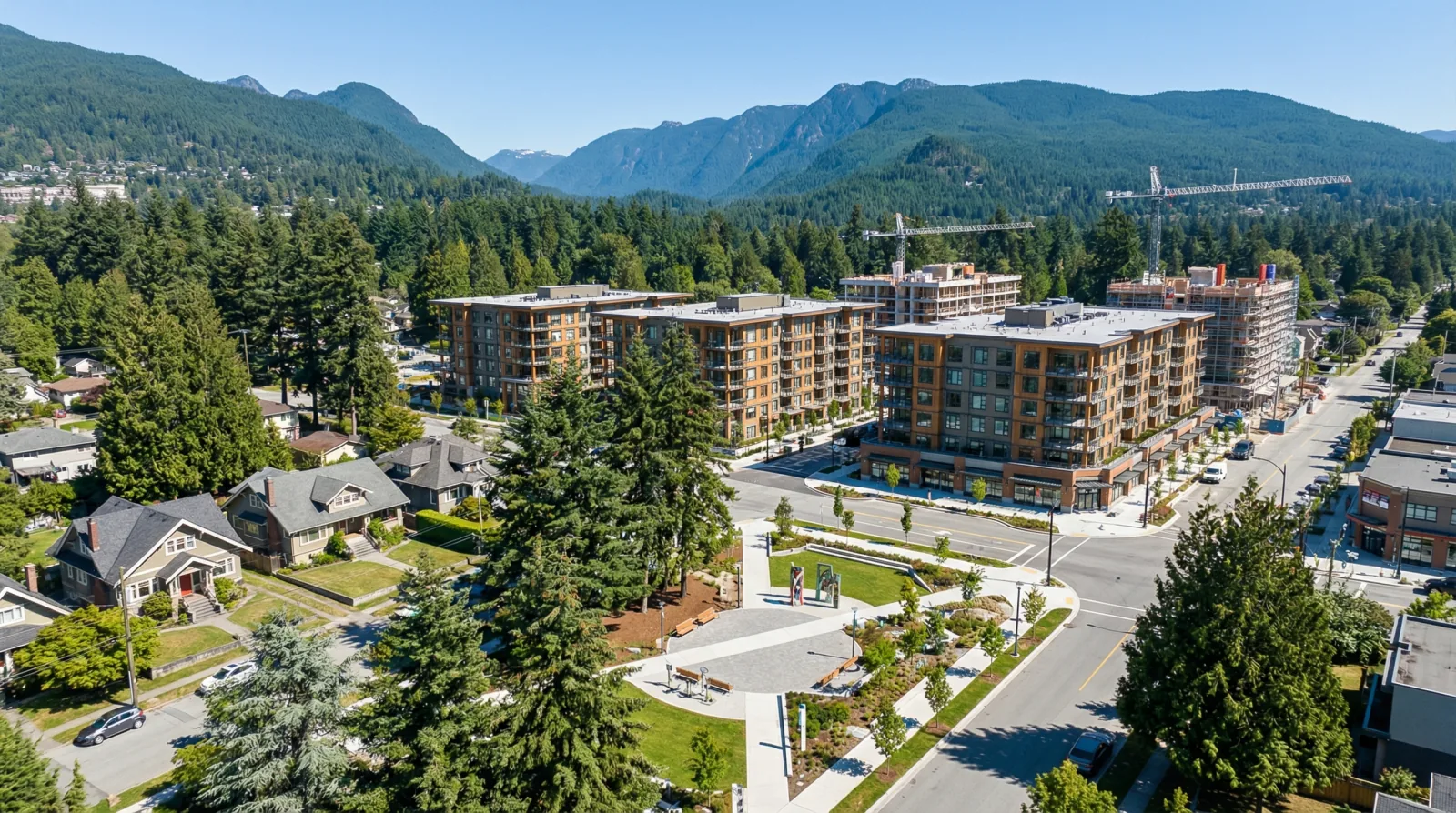
Maplewood
Maplewood sits in the eastern portion of the District of North Vancouver, along the Dollarton Highway corridor between the Ironworkers Memorial Bridge and Deep Cove. The area has deep roots: Coast Salish peoples (Tsleil-Waututh Nation) inhabited this land for millennia, and European settlement began in 1865 when Hugh Barr purchased the first parcels east of the Seymour River.
View area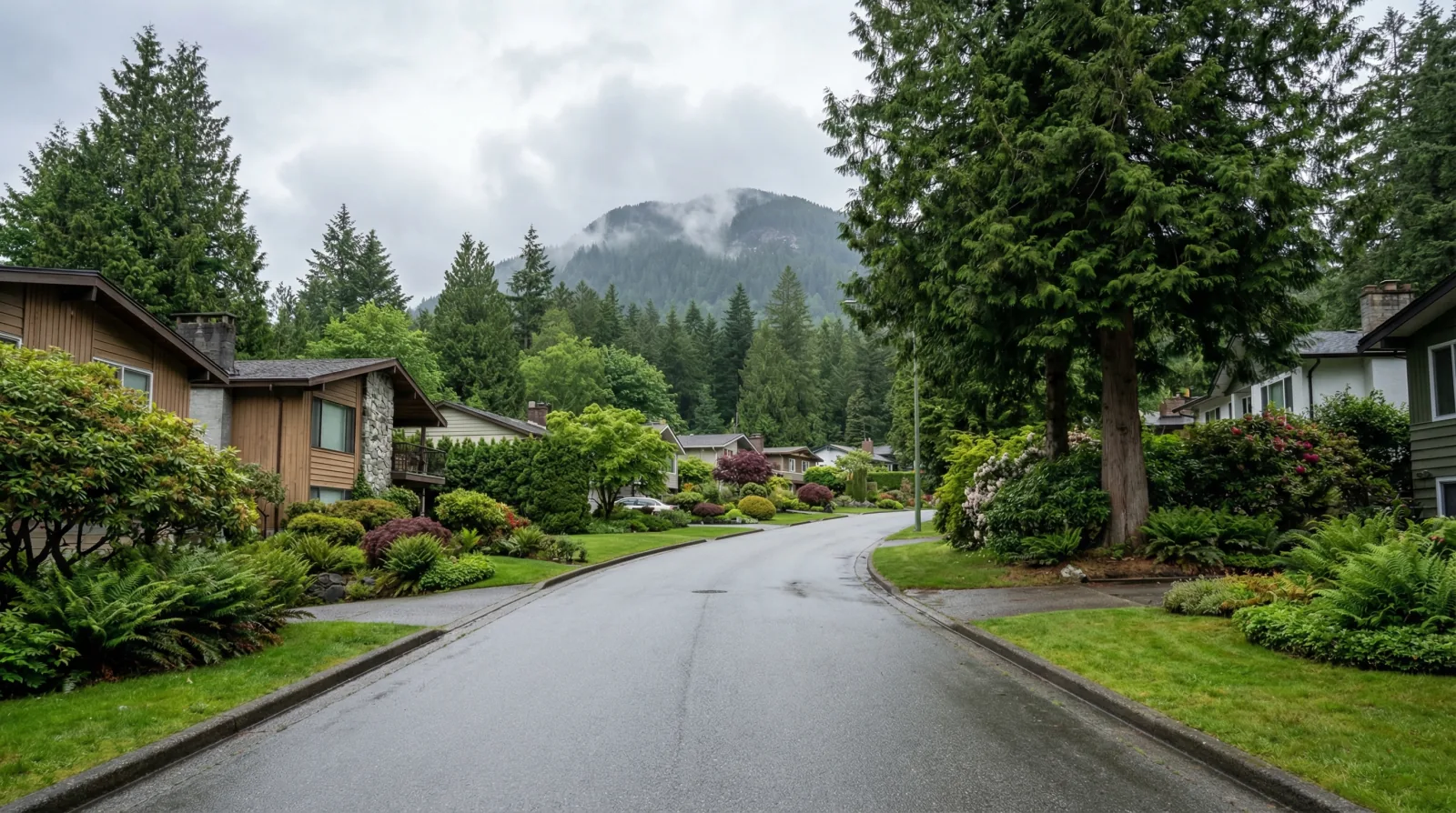
Seymour Heights
Seymour Heights is the older residential neighbourhood below Blueridge in the District of North Vancouver, with Mount Seymour Provincial Park as its backyard. The area developed primarily in the 1960s and 1970s after the Second Narrows Bridge opened the eastern North Shore.
View area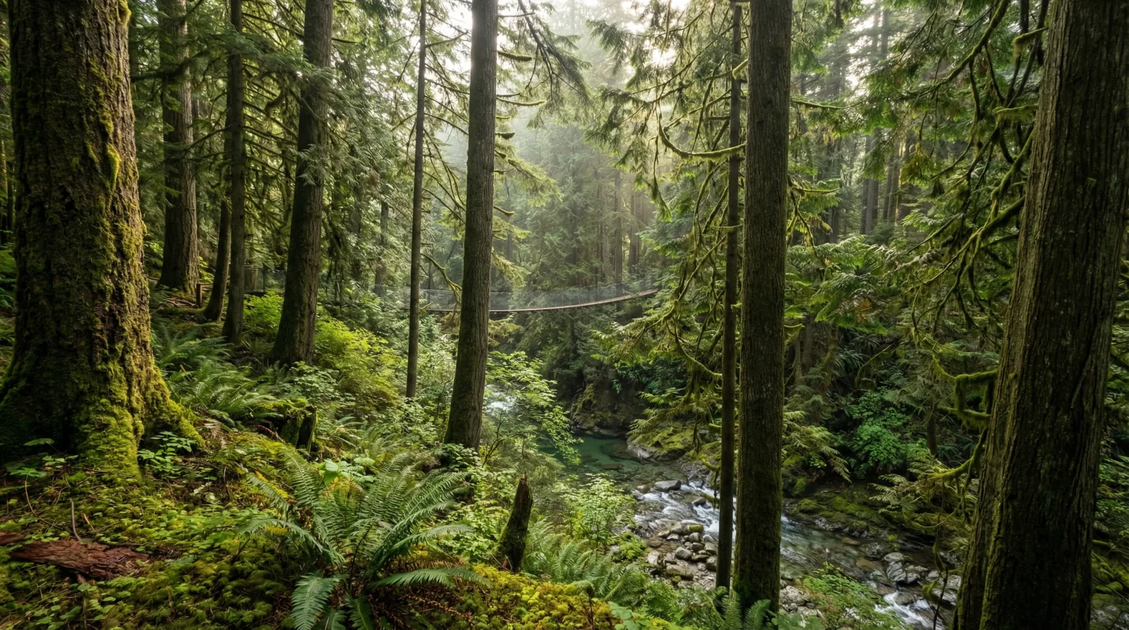
Westlynn
Westlynn sits at the western edge of Lynn Valley in the District of North Vancouver, with Lynn Canyon Park directly to the east. The broader Lynn Valley area was originally a logging community in the late 1800s, known as 'Shaketown': either for the shake-sided shacks housing lumberjacks or the cedar shakes and shingle bolts produced by the mill.
View area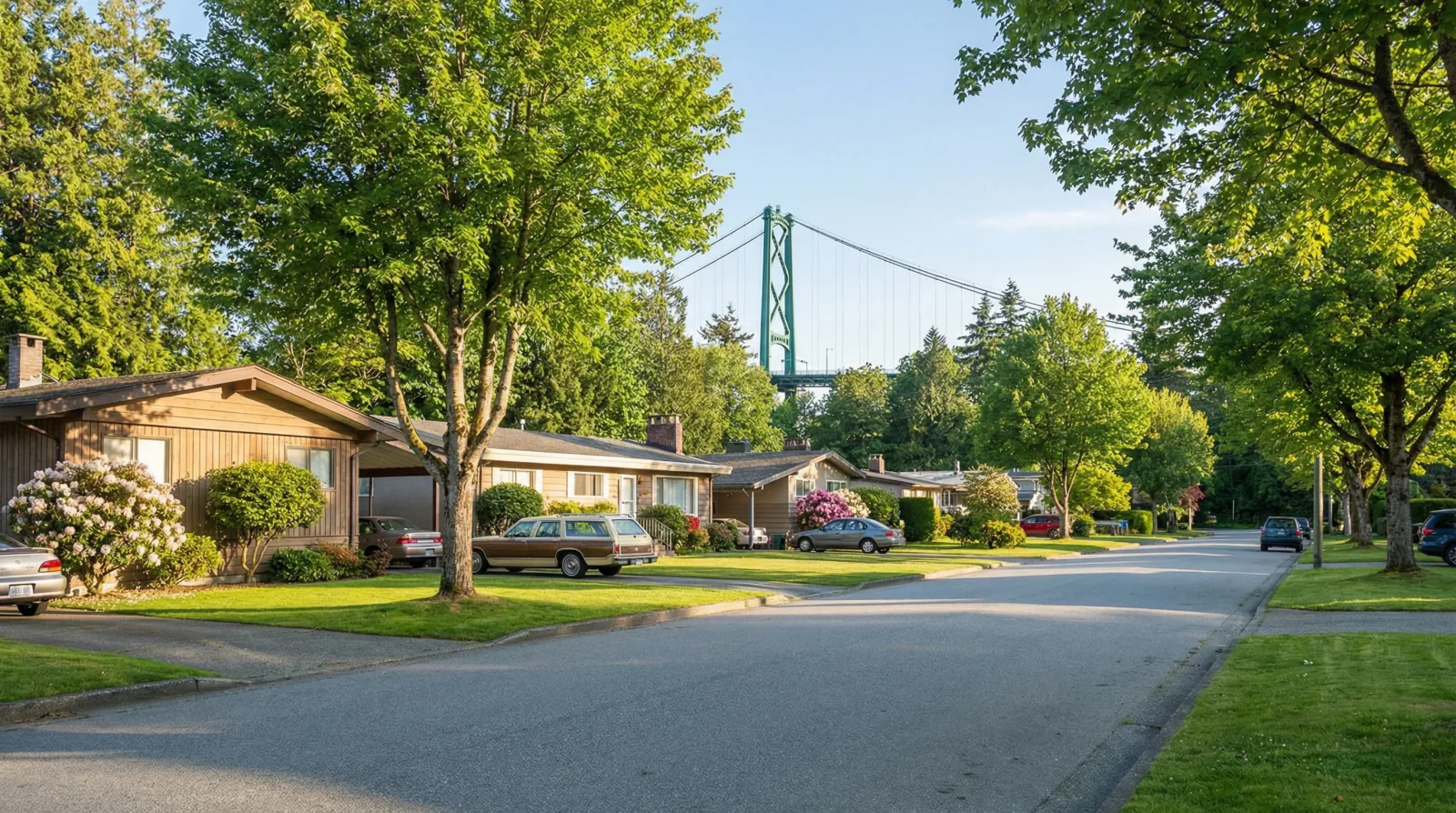
Norgate
Norgate has one of the more unusual origin stories on the North Shore. The land was originally planned to become the Capilano Air Park: an airfield proposed in 1945 with two runways, though it was never funded (partly deemed unsafe due to proximity to the Lions Gate Bridge).
View areaCity of North Vancouver
City of North Vancouver
The City is the urban core: Lower Lonsdale, Central Lonsdale, Moodyville, and Grand Boulevard. Smaller lots, higher density zoning, and faster permit processing than the District.
Lower Lonsdale
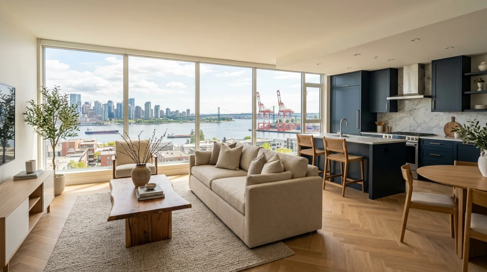
Lower Lonsdale ("Lolo" to locals) is the densest, most walkable neighbourhood in North Vancouver. The area has seen significant redevelopment over the past decade, but a large stock of older single-family homes, duplexes, and low-rise buildings remains.
View area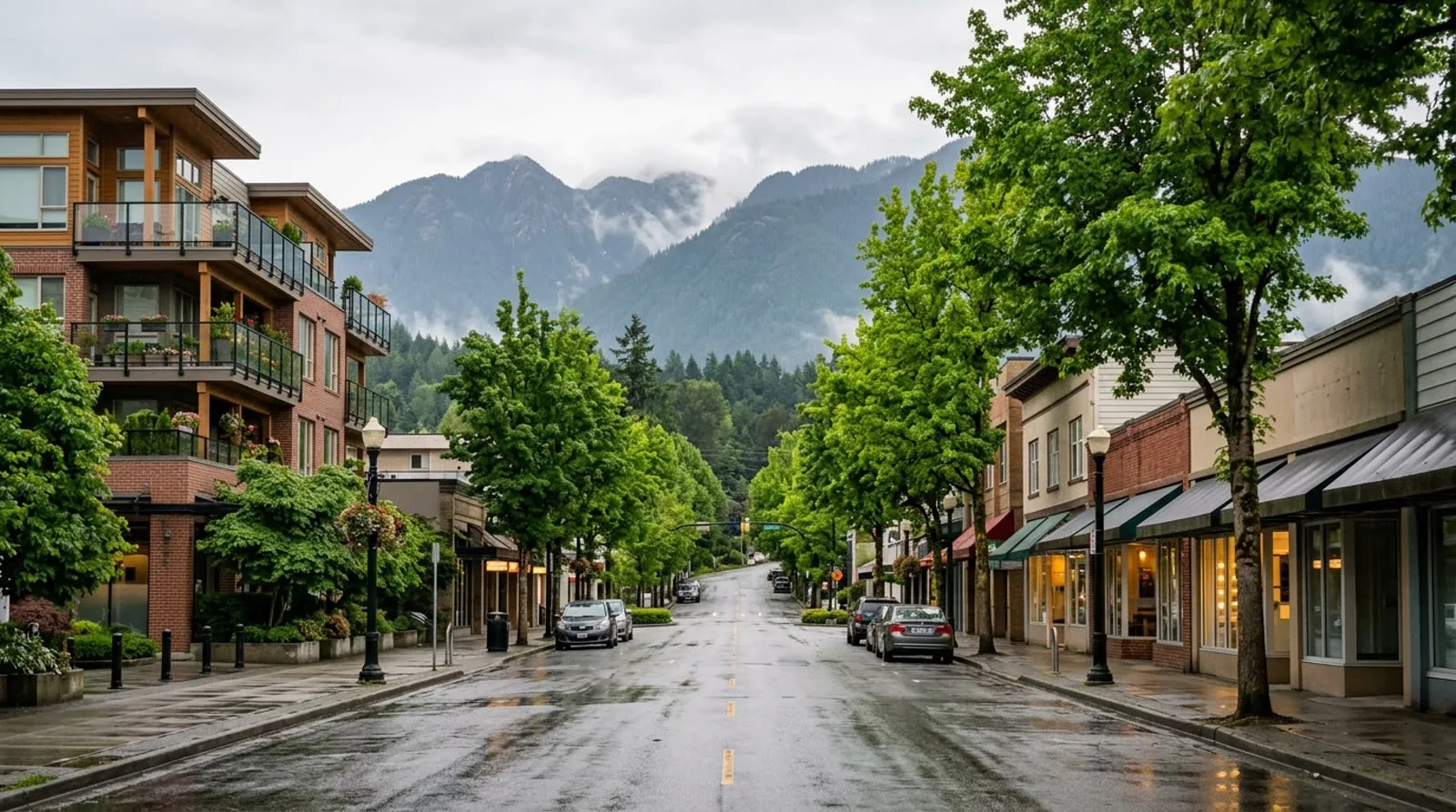
Central Lonsdale
Central Lonsdale sits between the waterfront energy of Lower Lonsdale and the quieter residential streets of Upper Lonsdale. It's a mix of post-war bungalows, mid-century ranchers, and newer infill on the corridor between 13th and 23rd streets.
View area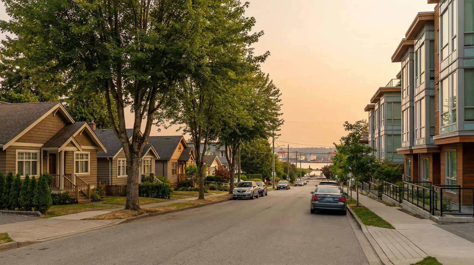
Moodyville
Moodyville is the oldest non-Indigenous settlement on Burrard Inlet. In 1863, T.
View area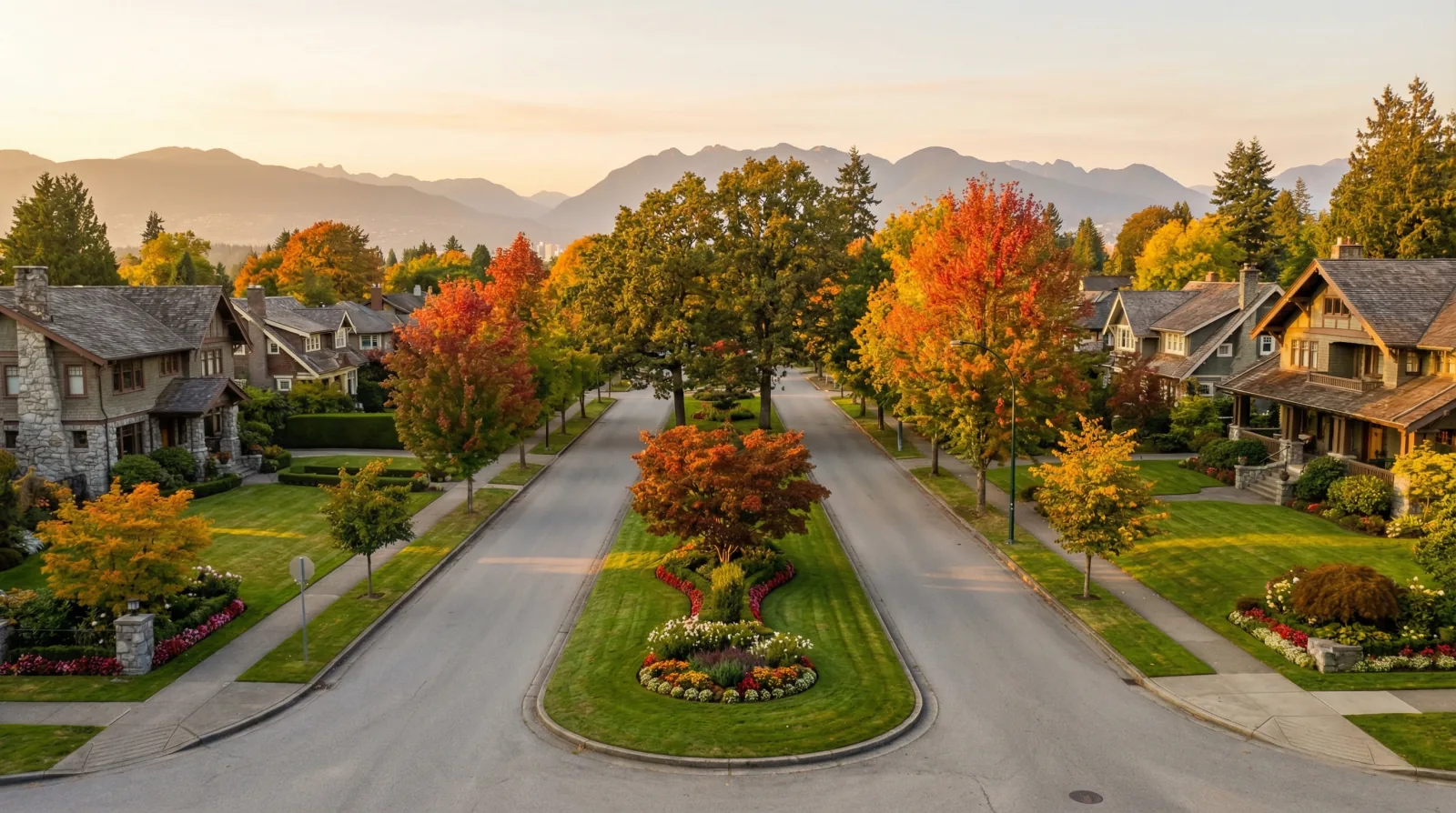
Grand Boulevard
Grand Boulevard was created in 1906 by the North Vancouver Land and Improvement Company, designed as a generous fire break following the lessons of that year's San Francisco earthquake. The vision came from Edward Mahon, an Anglo-Irish settler and founding father of the City of North Vancouver, influenced by the Garden City and City Beautiful planning movements.
View areaWest Vancouver
West Vancouver
West of the Capilano River: British Properties, Ambleside, Dundarave. Premium lots, ocean proximity, and a separate municipal government with its own design review process.
West Vancouver
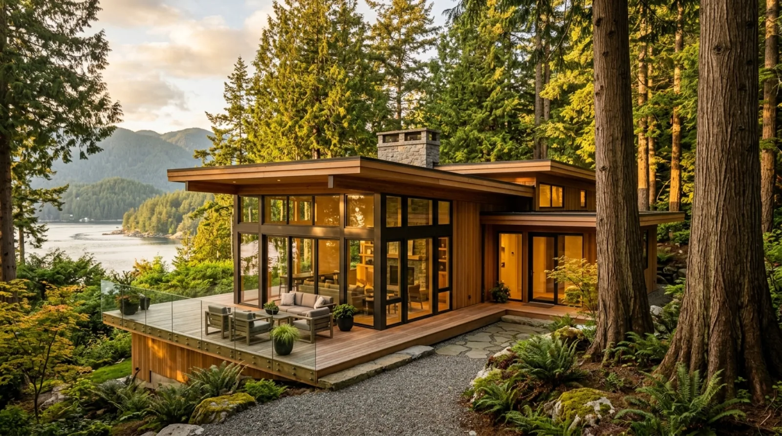
West Vancouver is a distinct market within the North Shore. The lots are larger, the homes are often higher-value, and the building conditions (steep terrain, ocean proximity, mature landscaping) demand a builder who understands the site before touching it.
View area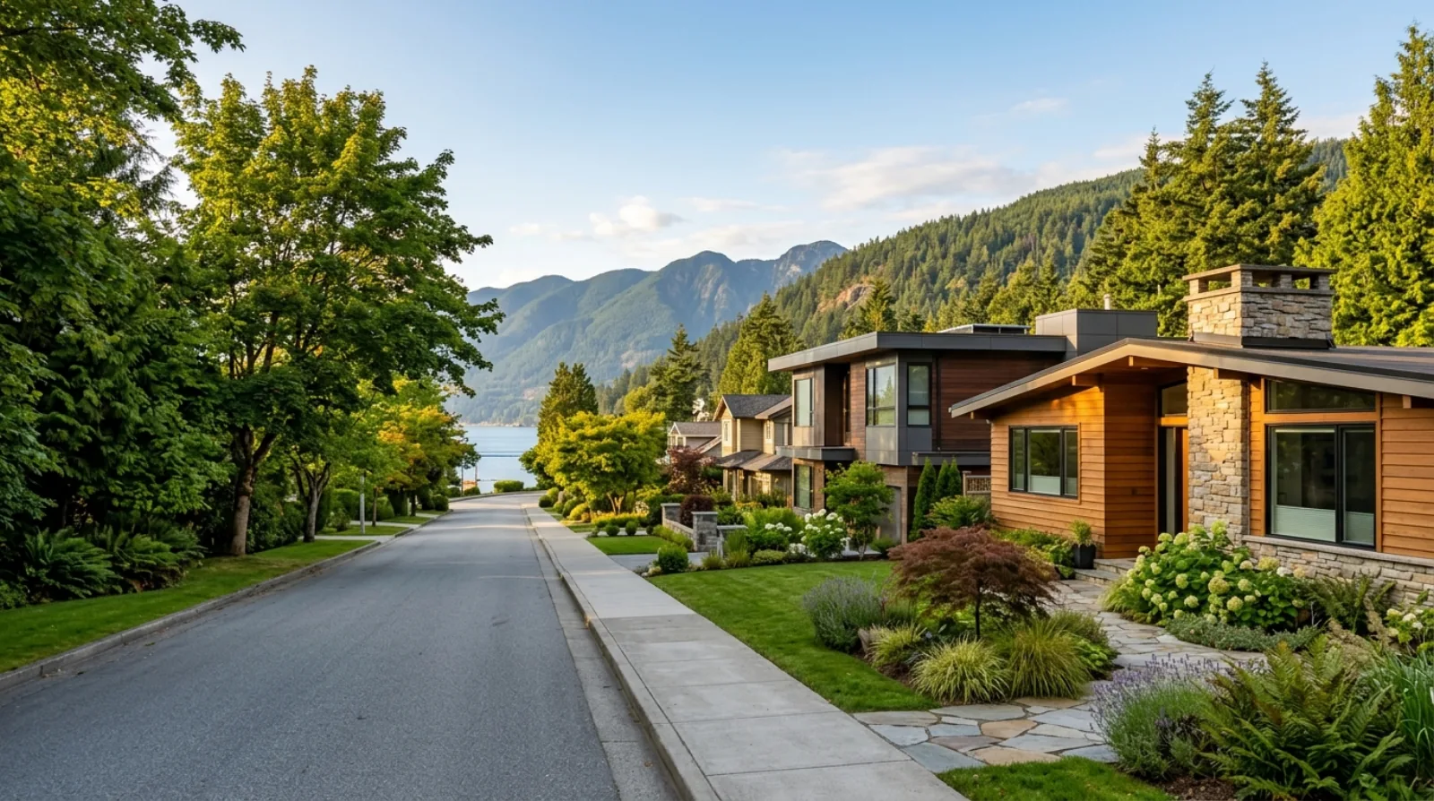
Ambleside
Ambleside is the flat part of West Vancouver, and on the North Shore that alone makes it unusual. The neighbourhood runs on a walkable grid between the waterfront and the slopes, with the seawall, the pier, and the Marine Drive shops at its centre.
View area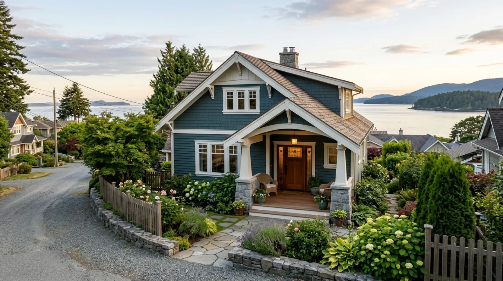
Dundarave
Dundarave was the first established neighbourhood in West Vancouver, a summer cottage colony from the early 1900s that grew into the village-by-the-sea it is today. The pier at the foot of 25th Street sits where the original ferry landing was, the village runs along the 2400 block of Marine Drive, and the streets above it carry some of the best character homes on the North Shore.
View area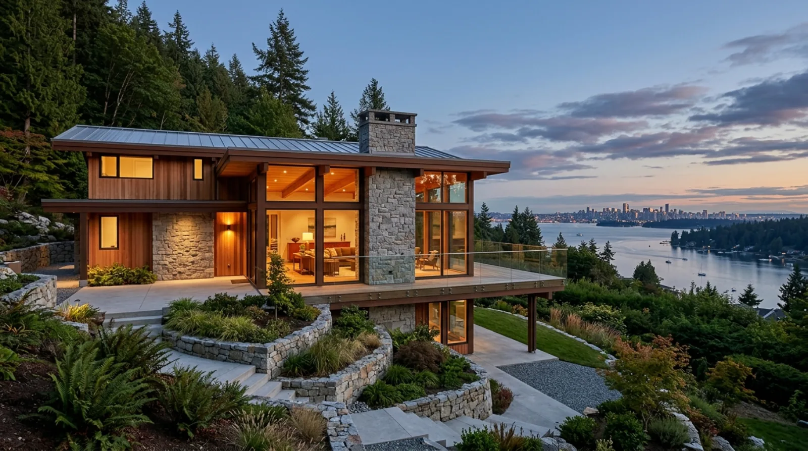
Sentinel Hill
Sentinel Hill is the rise directly above Park Royal, bounded roughly by Taylor Way to the east, Marine Drive below, and the Upper Levels Highway above. The views are the whole point: downtown Vancouver, the Lions Gate Bridge, and Stanley Park spread out below the south-facing slope.
View area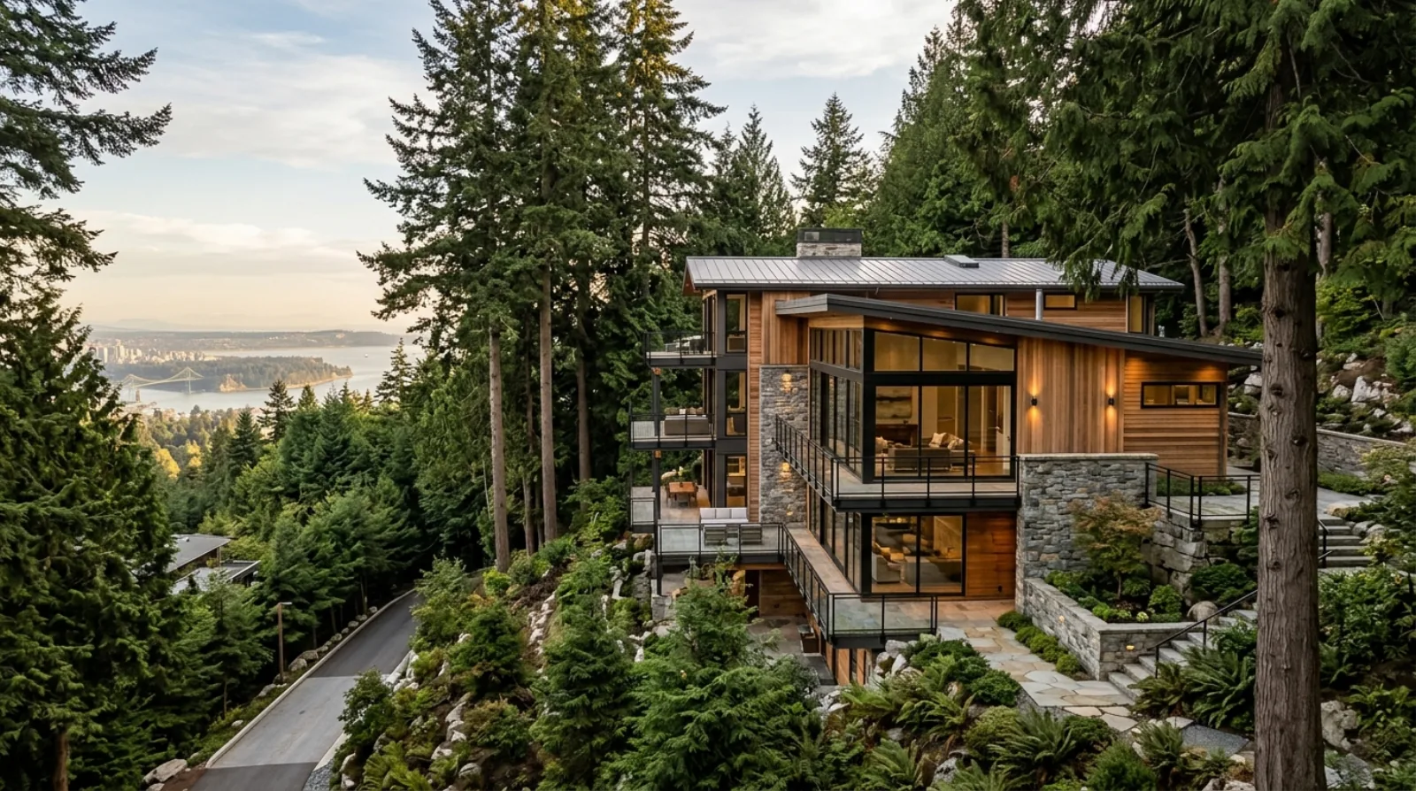
British Properties
The British Properties is the residential slope above the Upper Levels Highway that the Guinness family's British Pacific Properties began carving out of Hollyburn Ridge in the 1930s. The lots are large, often over 15,000 square feet, the terrain is forested rock, and the views over Burrard Inlet drive nearly every design decision.
View area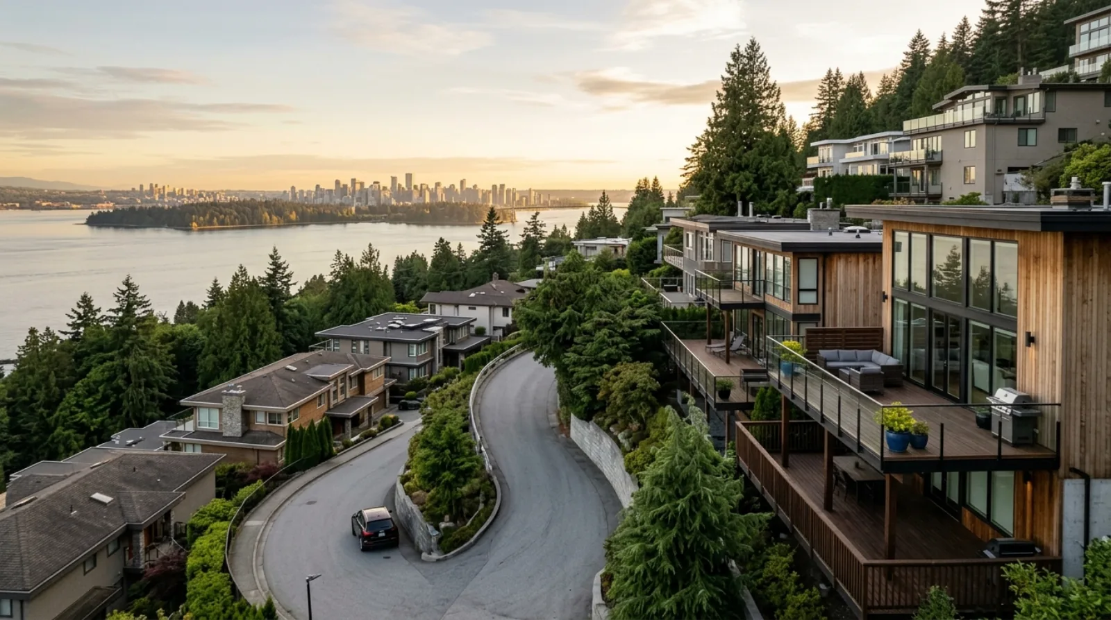
Chartwell
Chartwell sits high on the West Vancouver hillside above the Upper Levels Highway, an extension of the British Properties development where the streets switchback up the slope and nearly every home is oriented to the view over the city, the inlet, and Stanley Park. Around 45% of the houses here were built in the 1960s and 1970s, with most of the rest from before 1960 or from the 1980s.
View area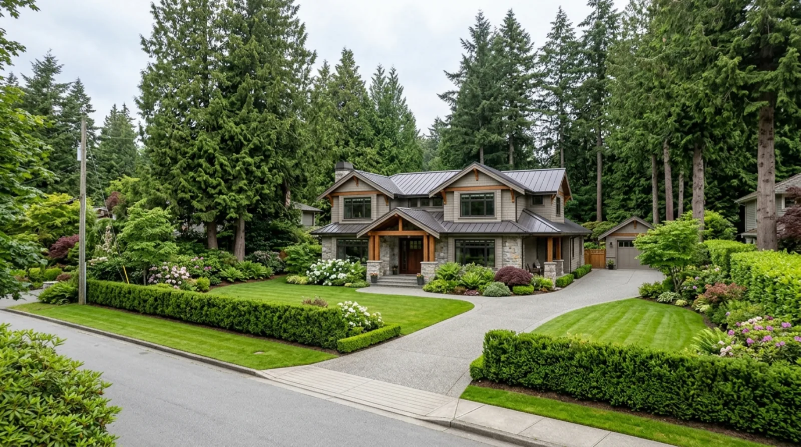
Altamont
Altamont is old estate ground: the blocks between Marine Drive and the Upper Levels Highway from roughly 27th Street to 31st Street, where half-acre and larger lots sit behind mature hedges and trees that have been growing for a century. This is one of West Vancouver's original prestige neighbourhoods, home to the Binning Residence that helped start West Coast Modernism, and the renovation work here is estate work: large houses, layered additions from past decades, and grounds that matter as much as the building.
View area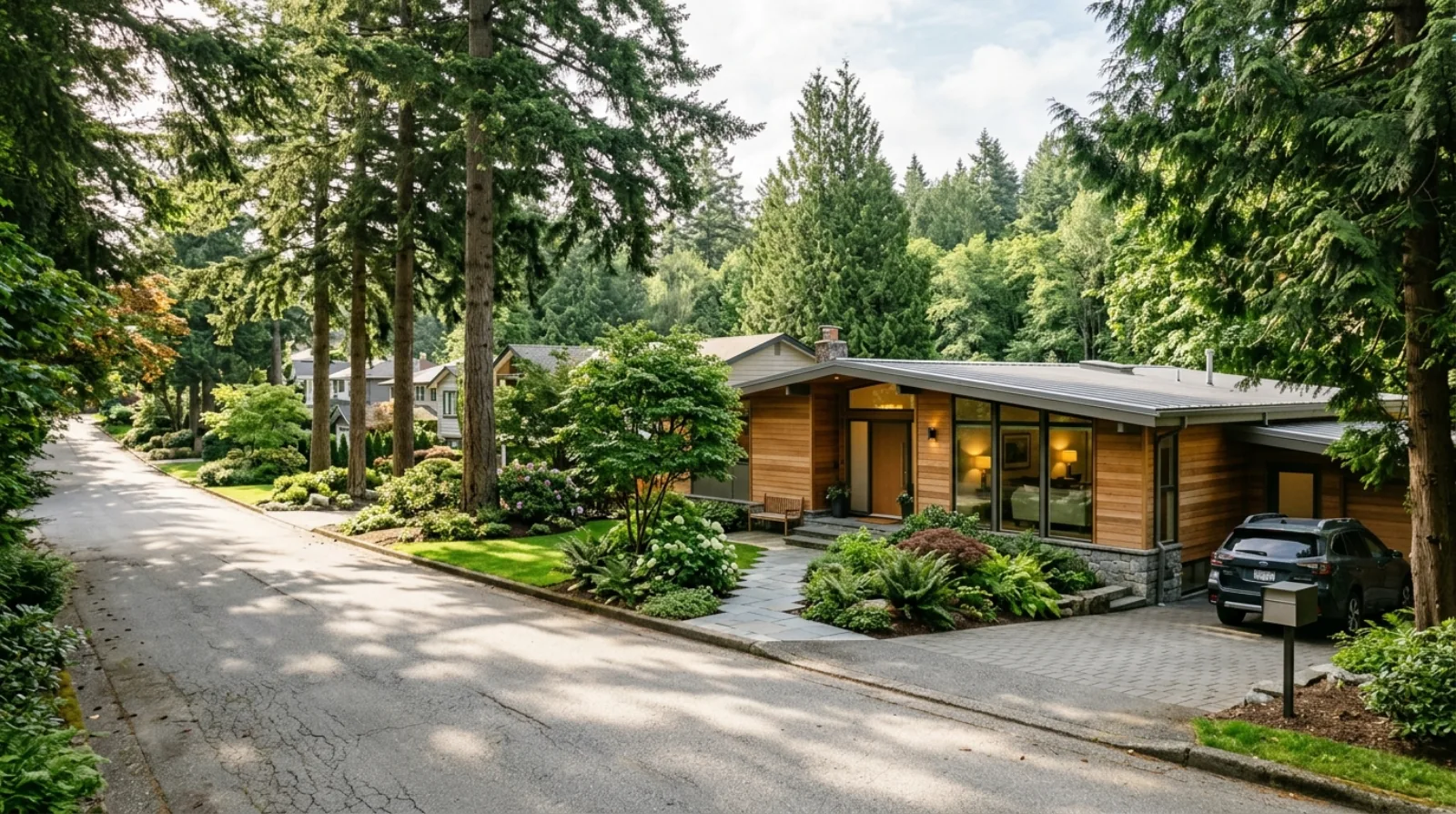
Westmount
Westmount is the leafy family neighbourhood west of 31st Street, set off Marine Drive and screened from the Upper Levels Highway by trees, where close to 80% of the homes were built before 1980. Creek ravines thread between the streets, West Bay Elementary anchors the community, and the housing stock carries a classic West Coast modernist sensibility that owners here would rather renovate than replace.
View area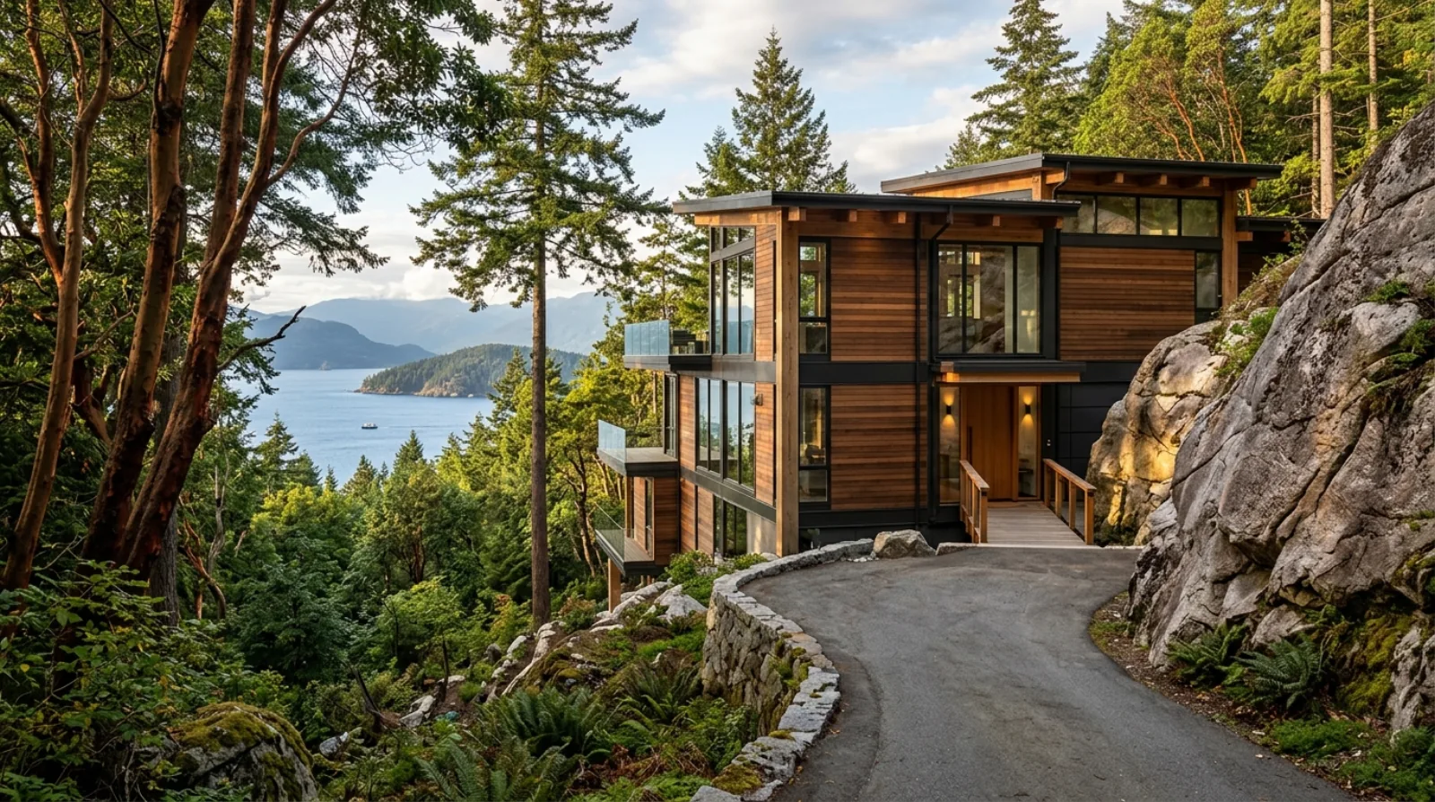
Caulfeild
Caulfeild occupies the rocky shoreline and forested slopes of western West Vancouver, wrapped around Lighthouse Park and Caulfeild Cove. It is one of the few neighbourhoods in Metro Vancouver that was deliberately planned to look unplanned: Francis Caulfeild laid out the original village from 1899 onward with winding lanes that follow the land instead of a grid.
View area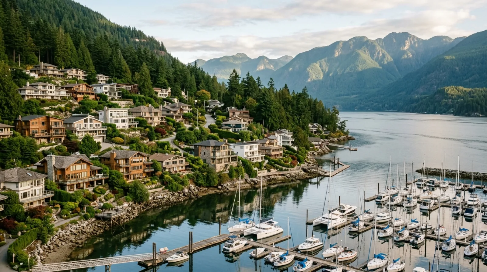
Horseshoe Bay
Horseshoe Bay is the ferry village at the far western tip of West Vancouver, where Highway 1 runs out at Exit 0 and the boats take over. The neighbourhood grew up as a summer resort from 1909, became a destination when the Pacific Great Eastern Railway arrived in 1914, and changed for good when the ferry terminal opened in 1951.
View area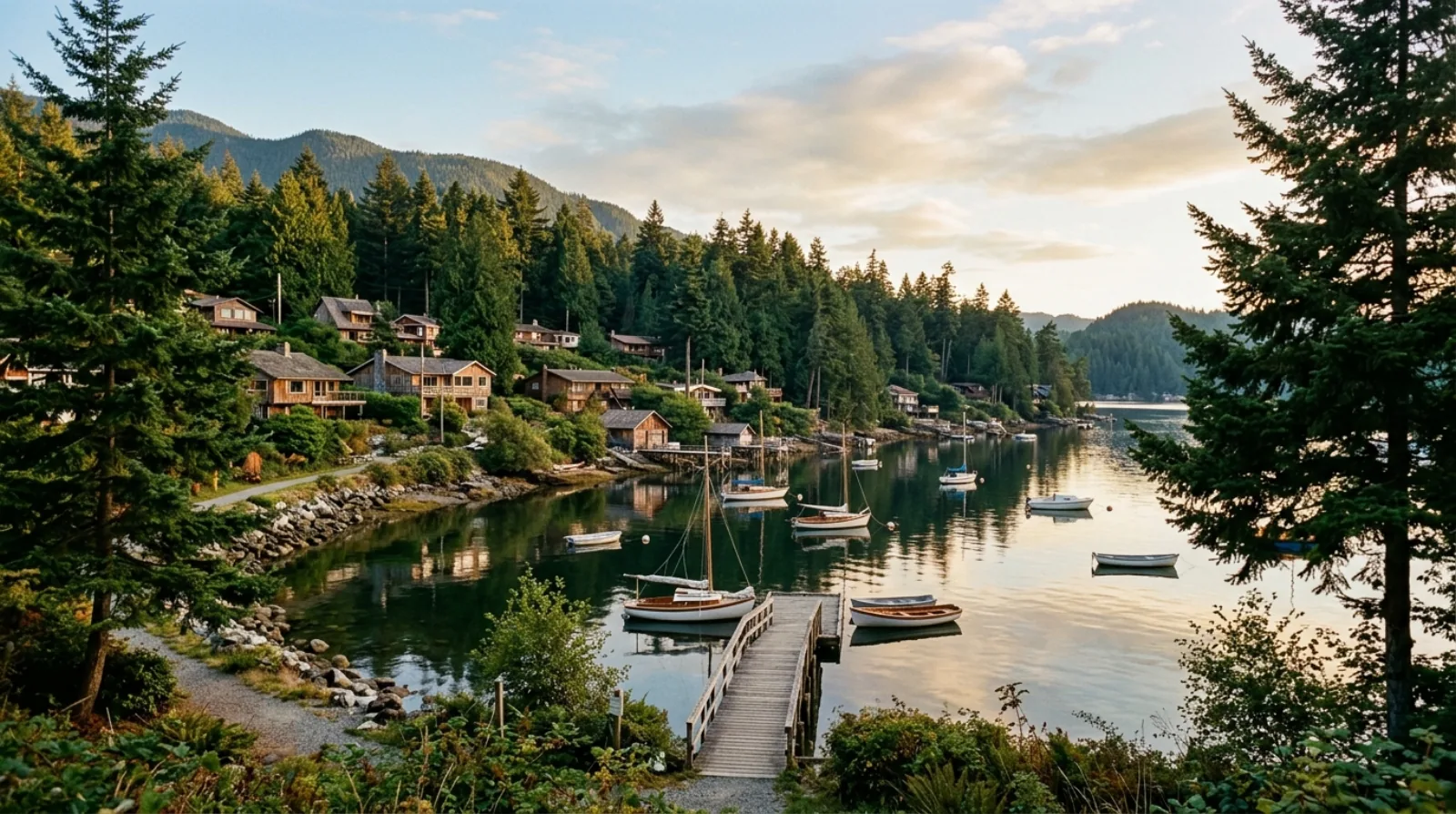
Eagle Harbour
Eagle Harbour is a beach community on the southeastern shore of Howe Sound, tucked below Marine Drive between Caulfeild and Horseshoe Bay. Most people driving the Upper Levels pass right over it without knowing it is there, which is exactly how residents like it.
View area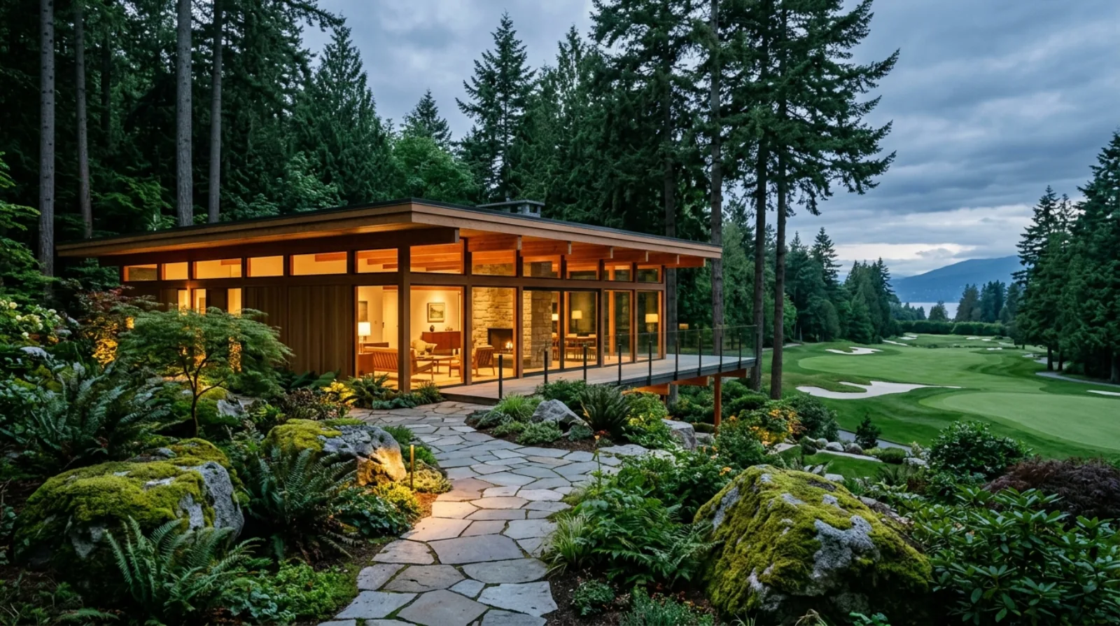
Gleneagles
Gleneagles sits at the western point of West Vancouver, bounded by the Gleneagles Golf Course, the Upper Levels Highway, and Howe Sound. The nine-hole course on Marine Drive opened in 1927, a year after Marine Drive itself was pushed through to Whytecliff, and the neighbourhood grew up around it through the post-war decades.
View areaGreater Vancouver
Greater Vancouver
Beyond the North Shore: Vancouver, New Westminster, White Rock. Different municipalities, different conditions, the same standards.
Vancouver
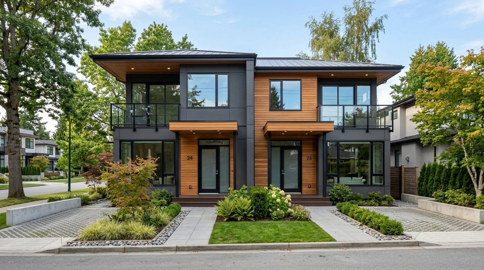
Vancouver's building environment is different from the North Shore. The lots are flatter, the density is higher, and the city's permit and zoning system has its own logic.
View area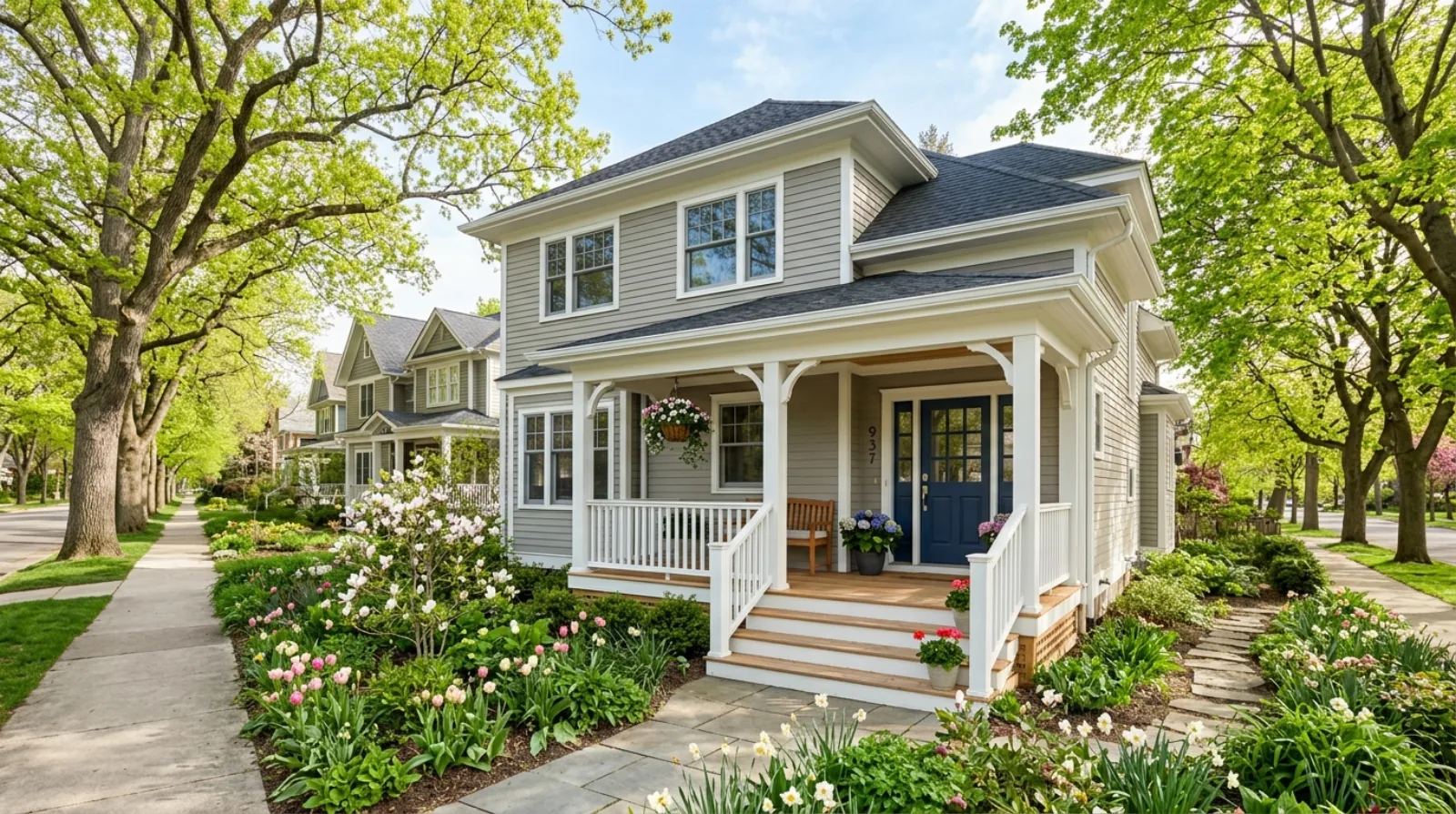
New Westminster
New Westminster has some of the oldest housing stock in Metro Vancouver, and that creates a specific kind of renovation market. Homes in Queen's Park, Brow of the Hill, and Sapperton range from Victorian-era heritage properties to mid-century bungalows: all with their own structural conditions, code compliance considerations, and renovation potential.
View area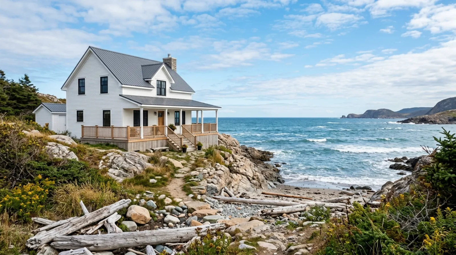
White Rock
White Rock sits at the southern edge of Metro Vancouver with a building environment that combines oceanfront exposure, hillside lots, and an established residential community. RealDream Contracting takes on select renovation projects in White Rock and the surrounding South Surrey area.
View areaBased on the North Shore
Don't see your area?
RealDream Contracting serves all of Greater Vancouver. Call (604) 401-4849 or book a consultation to discuss your project.